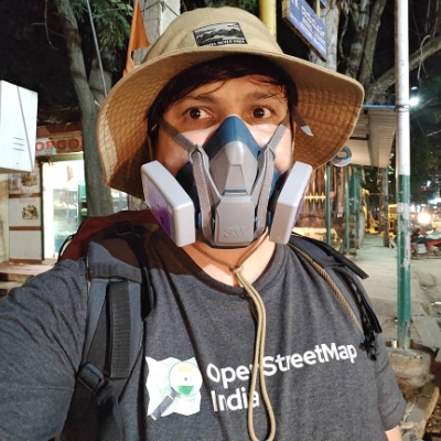
Thanks to FOSS United I've been doing a lot of #OSM talks and workshops, but I'm unsure if it's having the intended effect.
-
Thanks to FOSS United I’ve been doing a lot of #OSM talks and workshops, but I’m unsure if it’s having the intended effect.
Does spreading awareness about #OpenStreetMap really help if the clients aren’t as good as Google Maps? If people aren’t using it, will they really contribute?
We need polished apps that provide everything people expect from Google Maps…
-
Render the legal boundaries of India, so it’s actually legal to use and distribute them.
(Try explaining that to the CoMaps community and watch the thoughtless downvotes fly in - see CoMaps issue 2964)
-
Integrate https://closures.osm.ch/ , so that traffic information - by far the most widely-requested feature - is finally provided.
-
Integrate https://transitous.org/ for static and realtime public transport routes.
-
Integrate Panoramax and Wikimedia Commons photos.
-
Integrate Mangrove Reviews for ratings, reviews, and photos.
-
Integrate satellite imagery.
-
Be available in Indian languages.
-
Make it easy to add missing details, similar to MapComplete.
(Cartes.app seems like the best starting point.)
We also need a cooperative organization (like @prav@venera.social is for XMPP) to provide a brand name and to allow users to control development.
-
-
 A anderslund@expressional.social shared this topic
-
Thanks to FOSS United I’ve been doing a lot of #OSM talks and workshops, but I’m unsure if it’s having the intended effect.
Does spreading awareness about #OpenStreetMap really help if the clients aren’t as good as Google Maps? If people aren’t using it, will they really contribute?
We need polished apps that provide everything people expect from Google Maps…
-
Render the legal boundaries of India, so it’s actually legal to use and distribute them.
(Try explaining that to the CoMaps community and watch the thoughtless downvotes fly in - see CoMaps issue 2964)
-
Integrate https://closures.osm.ch/ , so that traffic information - by far the most widely-requested feature - is finally provided.
-
Integrate https://transitous.org/ for static and realtime public transport routes.
-
Integrate Panoramax and Wikimedia Commons photos.
-
Integrate Mangrove Reviews for ratings, reviews, and photos.
-
Integrate satellite imagery.
-
Be available in Indian languages.
-
Make it easy to add missing details, similar to MapComplete.
(Cartes.app seems like the best starting point.)
We also need a cooperative organization (like @prav@venera.social is for XMPP) to provide a brand name and to allow users to control development.
I like cartes.app. Looks like they use maptiler tiles, which are not fully open, but it works resonably well. There is also https://osmapp.org, in case you didn't know

The magic maps android app shows traffic information, but that is also not fully open - freemium business model. But developing and providing a complex app does cost money
-
-
I like cartes.app. Looks like they use maptiler tiles, which are not fully open, but it works resonably well. There is also https://osmapp.org, in case you didn't know
The magic maps android app shows traffic information, but that is also not fully open - freemium business model. But developing and providing a complex app does cost money
@anderslund@expressional.social I’m aware of OsmAPP.org - used to be my go-to web app recommendation before I knew of Cartes.
And yes, services cost money, but that’s no excuse to make something proprietary. Prāv is a great example - it’s libre licensed, and is funded by donations (moving to subscriptions in the near future). For another method, see https://contrapunctus.codeberg.page/blog/free-software-funding-2.html
-
@anderslund@expressional.social I’m aware of OsmAPP.org - used to be my go-to web app recommendation before I knew of Cartes.
And yes, services cost money, but that’s no excuse to make something proprietary. Prāv is a great example - it’s libre licensed, and is funded by donations (moving to subscriptions in the near future). For another method, see https://contrapunctus.codeberg.page/blog/free-software-funding-2.html
Donations is a good way of funding, hopefully in the future we can get donation funding from public institutions for FOSS applications!
My own vector map style is using #openFreeMap tiles, which follows the #openMapTiles schema. I hope that some of the issues in that (the schema) can be fixed along the way, so that we have a fully open, good source of tiles.
Look at my profile for screenshots, it is not currently available for browsing anywhere, but I try to make a rich, light style, based on osm-bright, but with lots of stuff added that was not in osm-bright, and even some not in the default omt style.