Since the #39c3 in December, every first Sunday of the month has been a "Digital Independence Day" for trying out alternatives to dominant/big tech platforms.
-
Since the #39c3 in December, every first Sunday of the month has been a "Digital Independence Day" for trying out alternatives to dominant/big tech platforms.
If you're looking to explore alternatives to Google or Apple Maps, why not give CoMaps – or any of the other open source map-applications that are based on data from #OpenStreetMap – a try!
You can learn more about the #DIDay here: https://edri.org/our-work/didit-edri-members-spark-movement-for-alternatives-to-big-tech/
-
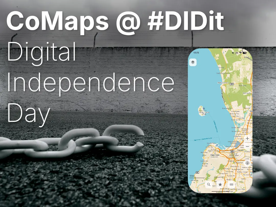
Since the #39c3 in December, every first Sunday of the month has been a "Digital Independence Day" for trying out alternatives to dominant/big tech platforms.
If you're looking to explore alternatives to Google or Apple Maps, why not give CoMaps – or any of the other open source map-applications that are based on data from #OpenStreetMap – a try!
You can learn more about the #DIDay here: https://edri.org/our-work/didit-edri-members-spark-movement-for-alternatives-to-big-tech/
@CoMaps Is there a way to improve real-time public transit routing?
I’d love to help with that, even as a beginner. To me, this is one of the biggest challenges for FOSS maps right now. -
@CoMaps Is there a way to improve real-time public transit routing?
I’d love to help with that, even as a beginner. To me, this is one of the biggest challenges for FOSS maps right now.@angelomassaro there's ongoing work to improve public transport, you can read more details in these two issues, which would be a good starting point to offer help!
-
Since the #39c3 in December, every first Sunday of the month has been a "Digital Independence Day" for trying out alternatives to dominant/big tech platforms.
If you're looking to explore alternatives to Google or Apple Maps, why not give CoMaps – or any of the other open source map-applications that are based on data from #OpenStreetMap – a try!
You can learn more about the #DIDay here: https://edri.org/our-work/didit-edri-members-spark-movement-for-alternatives-to-big-tech/
@CoMaps Where are the servers? In Europe or in USA?
-
Since the #39c3 in December, every first Sunday of the month has been a "Digital Independence Day" for trying out alternatives to dominant/big tech platforms.
If you're looking to explore alternatives to Google or Apple Maps, why not give CoMaps – or any of the other open source map-applications that are based on data from #OpenStreetMap – a try!
You can learn more about the #DIDay here: https://edri.org/our-work/didit-edri-members-spark-movement-for-alternatives-to-big-tech/
@CoMaps I love that app, it's really handy on my phone, thanks to the good data from OSM (especially in the city where I currently live, Lyon in France) and the hard work from all the CoMaps contributors to put all the bricks together!
I'm wondering if it could be possible to have additional layers of data for public transportation. Right now, only subways are shown, but in Lyon, trams are important too and so are buses. Is it possible to add "light rail" to the subway layer and if so, how?
-
@CoMaps Where are the servers? In Europe or in USA?
Shouldn't really matter as you just download the maps once and routing is done locally on your phone
-
-
@CoMaps I love that app, it's really handy on my phone, thanks to the good data from OSM (especially in the city where I currently live, Lyon in France) and the hard work from all the CoMaps contributors to put all the bricks together!
I'm wondering if it could be possible to have additional layers of data for public transportation. Right now, only subways are shown, but in Lyon, trams are important too and so are buses. Is it possible to add "light rail" to the subway layer and if so, how?
@pieq improving public transport is something that's being worked on. You can track progress and help out in those issues on Codeberg:
-
 D derhagen@snabelen.no shared this topic
 J jeppe@uddannelse.social shared this topic