-
-
-
Here are 4 screenshots of (approximately) the same area in Schwarzwald in south-western Germany, rendered by four different #OpenStreetMap renderings.
Ikke-kategoriseret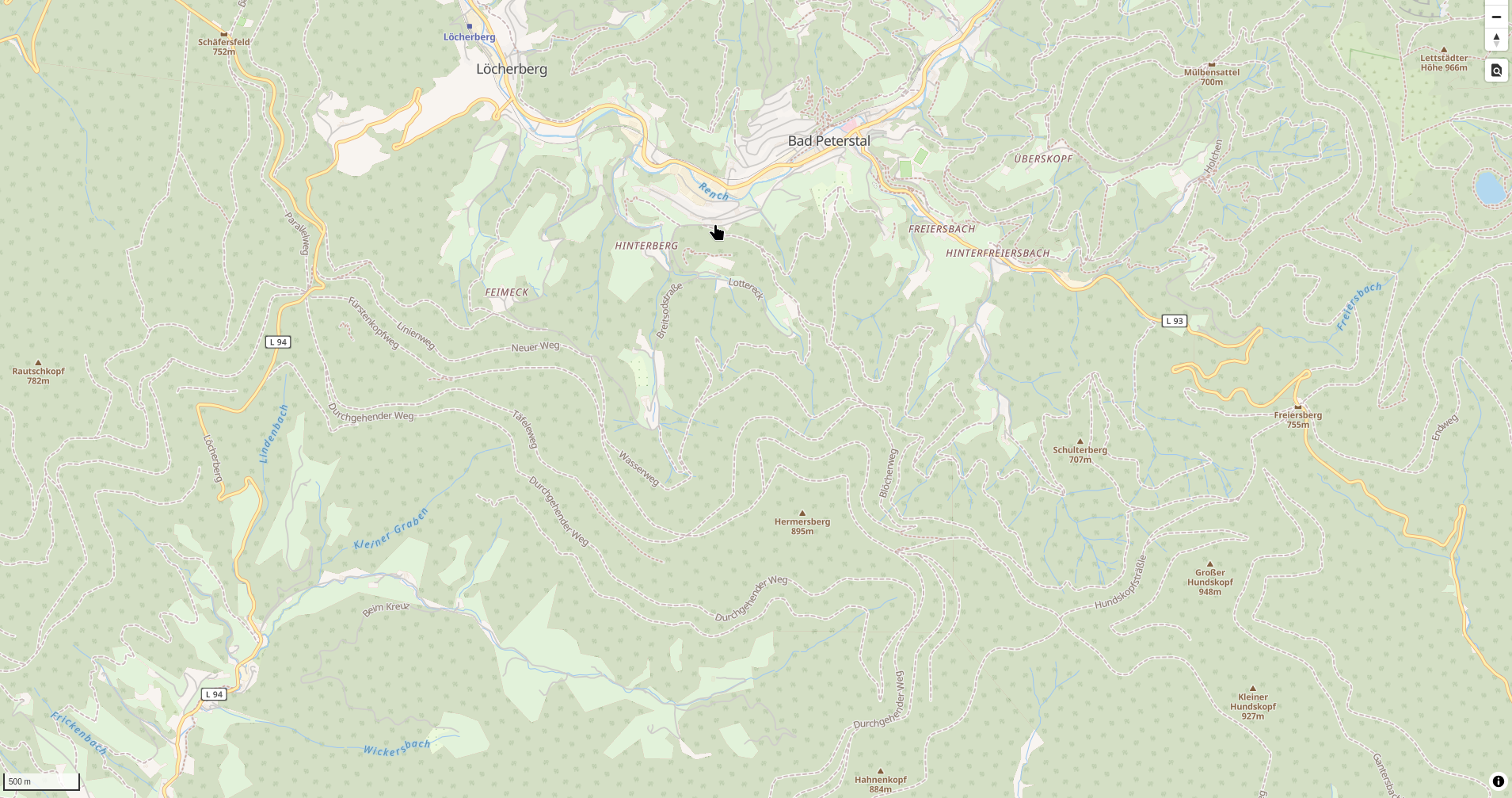 4
4
-
-
Implemented support for "ford" (a section of a road that is covered by water) in my vector #openStreetMap style, so far for tracks.
Ikke-kategoriseret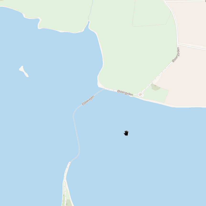 1
1
-
Displaying glaciers and bare rock adds information to the map, and leaves less area white.
Ikke-kategoriseret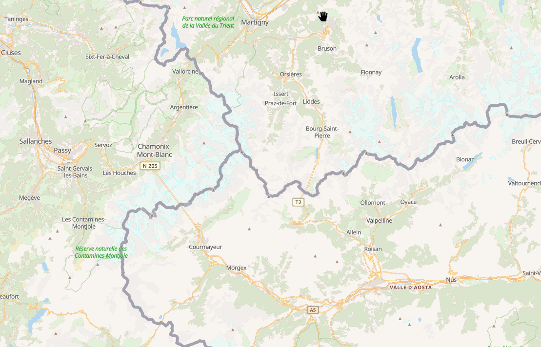 2
2